Project
Methodology
To achieve the objectives described in the previous section, we propose a work plan broken down in 6 major tasks and different subtasks, which are graphically summarized in Figure 1.
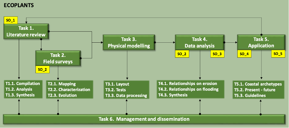
Figure: Flow chart of tasks and subtasks of the ECOPLANTS project.
SO_ (in yellow) refers to secondary objectives covered in each task.
Nature based solution (NBS)
One of the best known seagrass species in the Mediterranean is Posidonia Oceanica. In autumn leaves senesce and detach off the rhizomes, being deposited on the beach by storm waves. In many areas, particularly in sandy beaches with gentle slopes, extensive wedge-shaped deposits of P. Oceanica leaf litter can be found covering vast areas of coast from a few centimetres to several meters. These formations are commonly referred to as “banquettes”.
Banquettes play a protection role on beaches from winter storms. In addition, wrack and seagrass litter stranded on beaches can influence the foredune development, trapping the sediment transported by the wind and favouring the development of a new foredune. However, the perception from users is often negative and seagrass litter is harvested for biomass exploitation or removed to allow beach exploitation for tourist activities.
Although the depositional patterns of seagrass and the sequence of formation and destruction of the banquettes have been well described and some studies have addressed the parametrization of seagrass wrack for predicting patterns of transport and deposition of such wrack or assessed morphological changes due to the presence of such structures, there are no studies quantifying the protective role of such structures. In particular, there is a lack of studies relating beach morphodynamic response (with and without seagrass banquettes) and meteo-oceanographic conditions. Plugging such a gap could be very helpful for coastal managers and stakeholders that could take advantage of such natural deposits for increasing coastal resilience instead of spending money in artificial measures that can produce undesired results.
ECOPLANTS project intend to give answers to the following questions:
It is considered a comprehensive review of all the scientific literature on NBS in coastal environments related to the accumulation of seagrass on beaches.
The main aims of this review are to distil the morphologies and characteristics of seagrass matter accumulated at the nearshore and backshore that will help on the definition of the experimental layout (T3.1) and to focus in the selection of the pilot beaches to be surveyed in T2. Another expected result of this Task is to know the best management practices and lessons learned from the existing body of literature and held within the community of practice representing coastal management.
Fields surveys
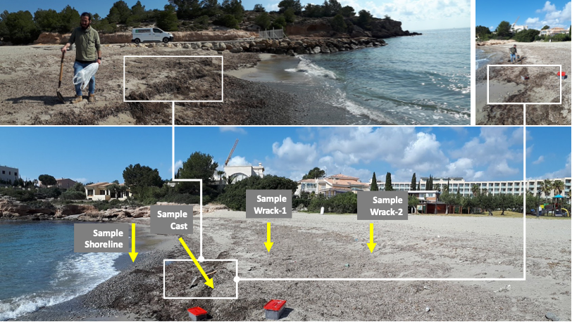
Two initial surveys will be carried out along the southern Catalan coast to identify areas of preferred seagrass accumulation and to define the coastal archetypes and hydrodynamic conditions in which they develop. From such initial surveys, two beaches will be selected for being studied in depth. In both beaches monthly field surveys covering two storm seasons (years), mainly from September to May will be carried out. In each survey, sediment samples and “in situ” measurements will be collected to determine the geotechnical and morphology properties of the seagrass accumulations for two selected pilot beaches. These results jointly with the obtained in T1 will be used to define the type of morphologies to be reproduced at the laboratory (T3) and also will provide insights for the feasibility of the management guidelines in T5.
Subtask T2.1. Mapping: Two initial surveys along the southern Catalan coast will be done to identify the type of coastal, coastal archetypes, were they preferable form. From such initial surveys two beaches will be selected. In both beaches monthly cartography accumulated at the beach covering two storm seasons (2 years), from September to May will be obtained. During that period, we will gather the meteorological and hydrodynamic data recorded by Puertos del Estado hydrographic network to detect the conditions in which that morphologies develop. The time evolution of the measurements will permit to determine the effectiveness of such morphologies for coastal protection. A collection of maps will be produced jointly with the sea state conditions.
Physical modelling
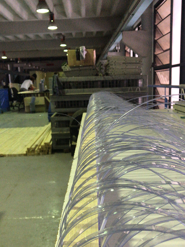
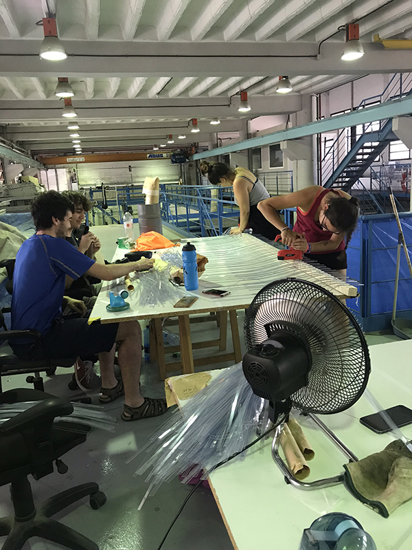
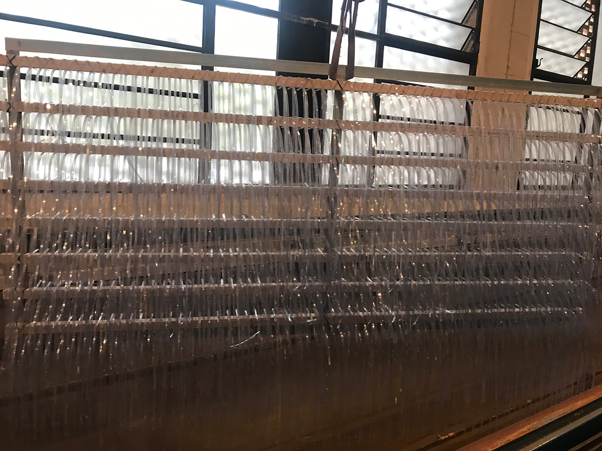
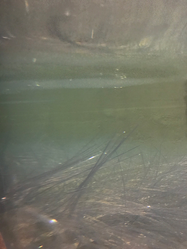
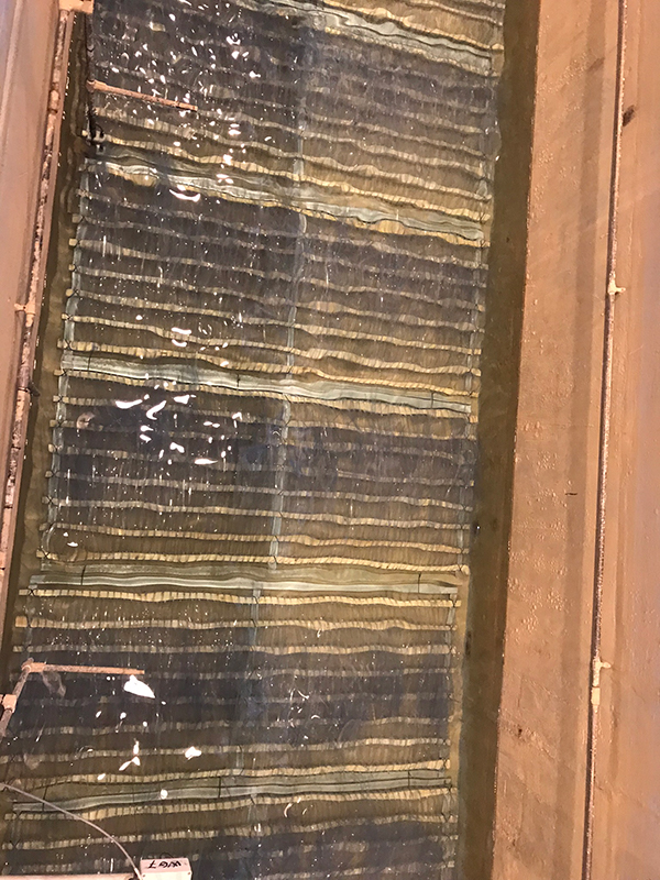
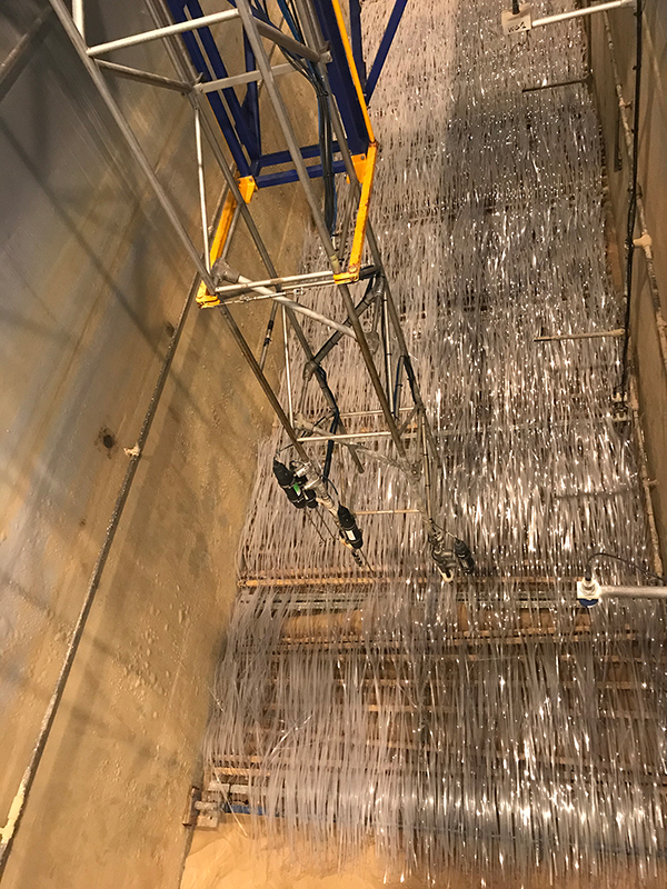
The ECOPLANTS project will quantify the efficiency of the proposed NBS in terms of the beach’s response to flooding and erosion. To do this, we will design a set of experiments to be carried out in the large-scale wave channel CIEM, a MARHIS facility (Maritime Aggregate Research Hydraulic Infrastructures) which is a distributed ICTS managed by the Maritime Engineering Laboratory (LIM). It belongs to the Polytechnic University of Catalonia. The main objective is to reproduce the morphologies of the seagrasses identified in previous tasks (T1 and T2) in the laboratory and to measure their capacity to protect against erosion and floods in different wave conditions representative of the Mediterranean climate. The results will be used in the next task (T4) to quantify the amount of protection against erosion and flooding they provide.
Data analysis
With the results obtained in the fields surveys (T2) and physical modeling (T3), we will examine the links between seagrass accumulations at the shoreline and their ability to protect the beach against erosion and flooding. The analysis will be performed by using the data obtained in previous tasks, in particular those corresponding to laboratory experiments, where the measurements are carried out under more controlled conditions. It covers the secondary objectives SO2 and SO3. Two main strategies are proposed: (i) by doing a dimensional analysis of the results of the experiments and (ii) by studying the physics behind the observed response. In the first approach we are planning to apply the widely used Buckingham Pi theorem for determining modelling criteria, that is, to define all the dimensionless numbers that exist for a particular problem. The second strategy focusses in the understanding of the processes involved in erosion and flooding which basically will consist in the study of the sediment transport in the swash zone and the wave runup.
Application for spanish coast
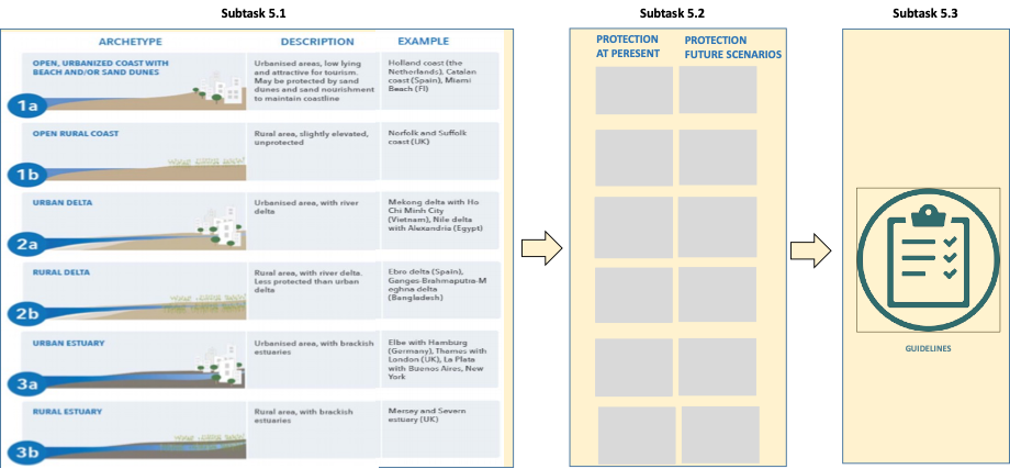
A common practice in most Spanish beaches is the removal of seagrass accumulated at the emerged zone, especially in May, to prepare them for tourist use. In this task we will apply the results obtained in T1, T2 and T4 to identify the coastal archetypes in which seagrass deposits provide protection against erosion or flooding (SO4) and to define a set of recommendations of good practices for present conditions and under different climate change scenarios (SO5).
Management and dissemination
We will guarantee the dissemination of the project outcomes through their publication in prestigious national and international peer-review journals and forums. Publications will be done in open access – creative commons. Moreover, the data obtained in the project will be made available to the scientific community following the principles of FAIR and using platforms such as Zenodo, a data repository service created under the umbrella of the OpenAIRE Consortium aimed to support the implementation of the EC and ERC Open Access policies. Two meetings will be held, at the beginning and end of the project, with coastal practitioners and stakeholders to inform them about the objectives and major findings of the project. This webpage of the project will help in the dissemination of results and activities to the scientific community and the other interested.

